Day 46—Friday, September 16—Hartsel to to Salida CO
46 miles

None of us slept very well until midnight last night but we all got up with the sun and the unmistakable smell of bacon wafting from the cafe behind which we were camping.
We grabbed a hot breakfast and warmed up in the cafe as the sun dried the frost off our tents.


Eric Larsen was first on the trail and I followed him about 20 minutes later. It was a spectacular morning with no clouds but a stiff wind from the south, portending some struggle on the day’s ride.
I caught up with Eric after about 8 miles (he was taking a break) and we rode together into the wind. Eric is from Idaho Falls, just retired at 55 (can someone tell me how I can retire at 55?) and this is his first post-retired adventure. He is an active outdoors person: backpacker, bikepacker, skier, etc. and a very strong biker. He worked on contracts with the Dept of Energy around material research, namely how to improve weld materials on ships. His father has a connection to New England: he tested jet engines at the top of Mount Washington (I was unaware they did this). He’s a good guy and easy to ride with. Being a decade younger gives him extra legs when mine are getting ready to hit the showers. I make sure that he knows to go at his own pace and we share this philosophy.
Climbing the watershed divide was steep at the end but eventually we reached the ridge of the divide. At that point Eric had more juice in his legs and got ahead of me by about 20 minutes.


I have been referring to “watershed divides” which may be confusing since the continental divide— or Great Divide—is a watershed demarcation that distinguishes which way water travels depending on where rain falls or snow melts relative to the mountain ranges that separate a continent.
Think of watershed divides as a subset of the continental divide: where the GD separates a geographic continent, watershed divides direct water in one of two directions within a locality. We have been riding roads that cross the GD and roads that cross watershed divides which are often higher ridges within the local topography that direct water one way or another.


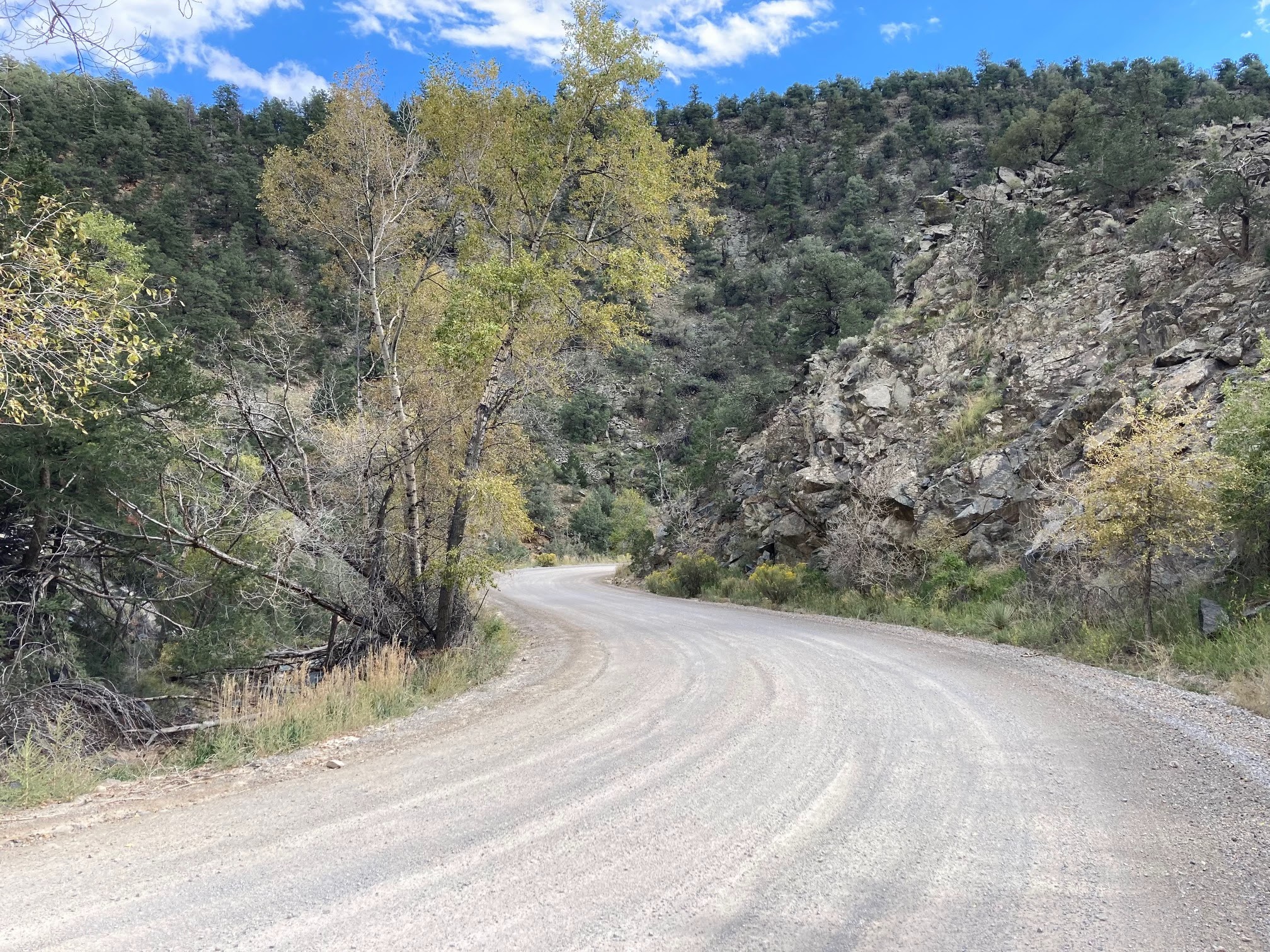
The descent into Salida was such a joy on a relatively smooth gravel road. As I get closer to my son's wedding date I am getting more conservative with my downhill speed: also, the head winds were gusty on the way down and blew the bike around (no guardrails protecting a long drop!). Instead of 30 mph I tried to keep it about 20 mph to increase my odds of making it to Denver!

Due to few—as in no—options to camp in Salida (verified this with a cop), Eric and I decided to split a motel room.
One stressor about bikepacking is that oftentimes camping near towns is almost impossible unless the municipality has a park or campground. Private property and barbed wire and no trespassing sign make every evening an adventure as to where to camp. Dispersed camping in national forests is an attractive option as long as you have water—and this summer many stream beds are dried up.
Some big climbs are ahead starting with Marshall Pass tomorrow. We have been keeping an eye on New Mexico weather: rain can turn the roads into peanut butter, the inedible kind. Some improvisation may be necessary.
For those keeping track: TJ was trying to do 75 miles from Como to Salida…not sure he can make it with those winds but you will be among the first to know.
Unbelievable Tim. Those skies and vistas are something else. Keep up the good work! Love Jamie
ReplyDeleteHey Tim - this is brother Mark. it sure you'll get this as i have had such a hard time being able to send notes via the blog. Slow down on those descents! what's the rush? Wishing I was there - the writing and photos are wonderful!! See you in CO soon!! Abrazos fuertes!
ReplyDelete